Adventures In Strange Lands
As an Amazon associate, I may earn a small commission if you navigate to Amazon from my site and buy something. This will not result in an extra cost to you.
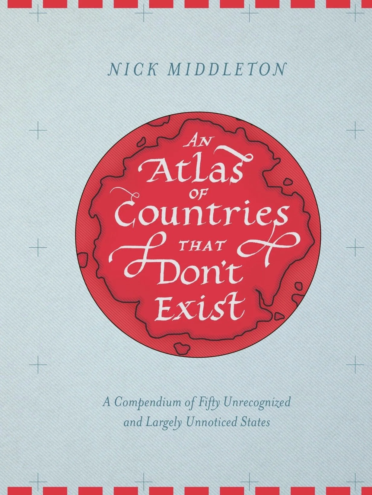
My misquote of Robert Heinlein aside, this post is a review of a book entitled An Atlas Of Countries That Don’t Exist by Nick Midddleton. I saw the cover of this book and immediately jumped to the conclusion that inside its pages, I would find Narnia, Middle Earth, Wakanda, Atlantis, Westrios, and a whole host of other fictitious countries.
Imagine my surprise to realize that this book actually describes real lands. I suppose my first clue might have been that I found it at the library on the non-fiction shelves, but I just leapt to the conclusion that it had been mis-shelved, checked it out, and carried my treasure home, only to be almost immediately disappointed to discover that this was an atlas of real places.
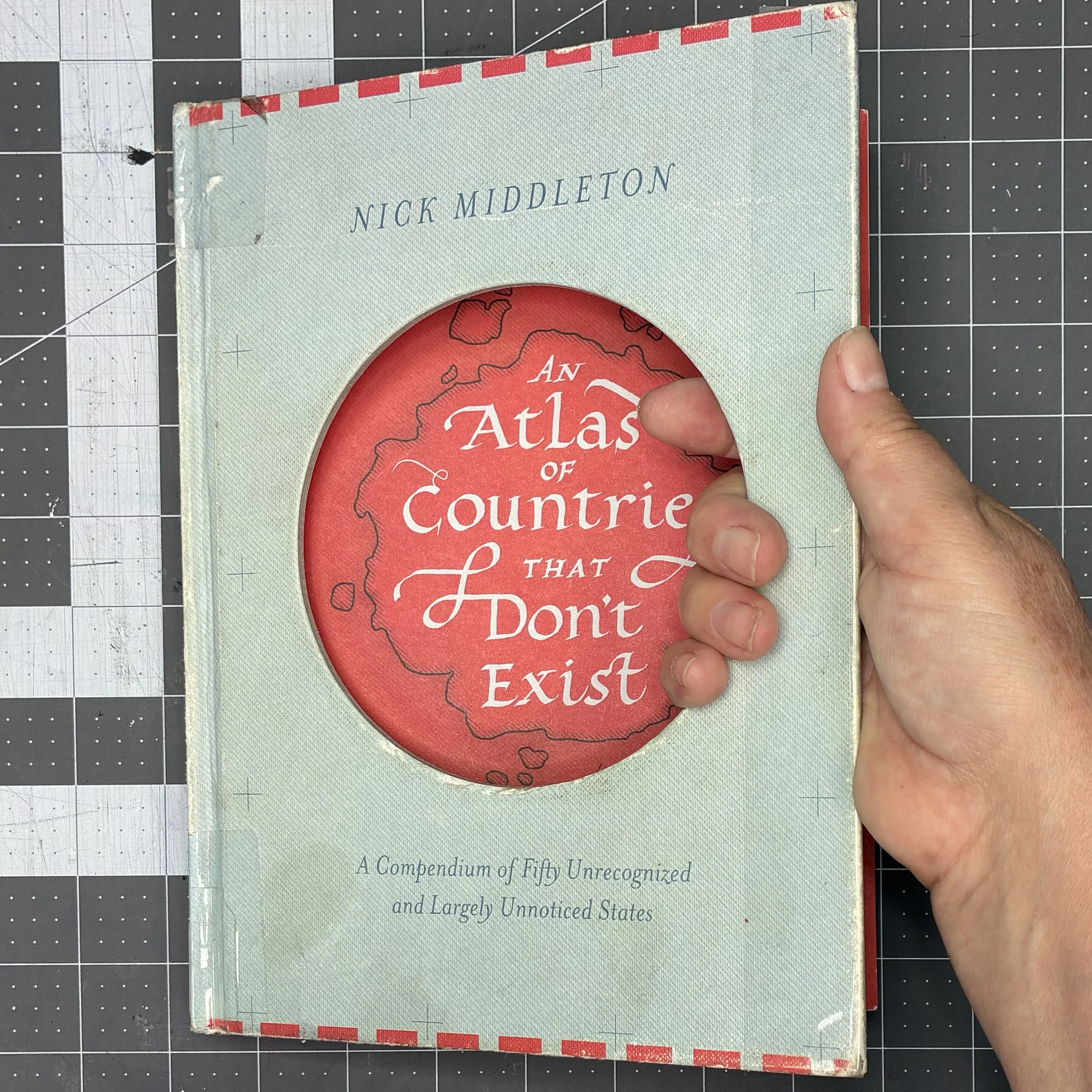
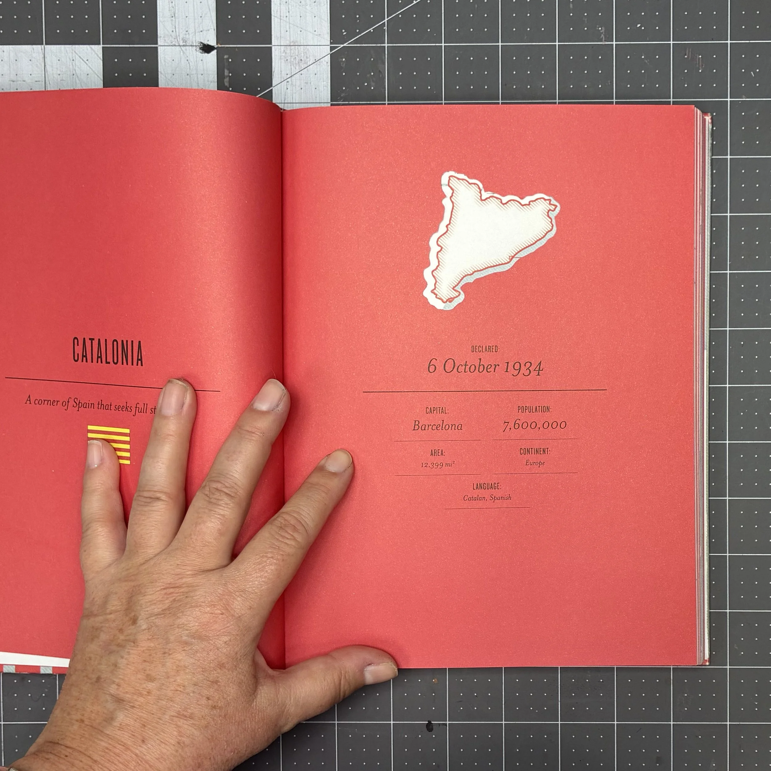
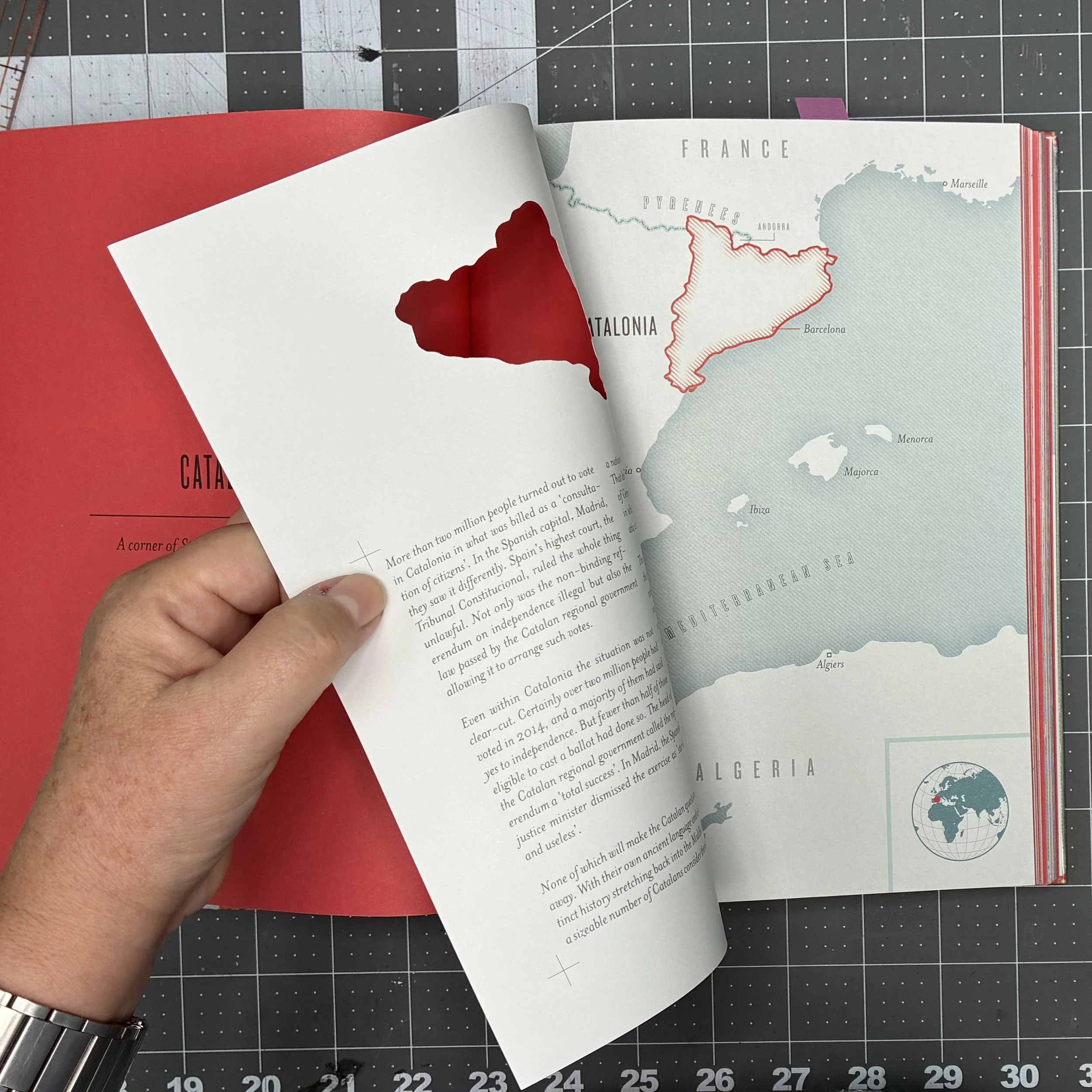
My disappointment didn’t last long…this is a fascinating book, beautifully executed. First off, the physical book (which I recommend that you get instead of the e-book version) has a die-cut front cover, which is pretty enough. But then, the four pages dedicated to each country include a cover page which is again die-cut to let the map shape on the next page show through. The paper is a light-cardstock, so the book has some heft to it.
The introduction investigates the question of what makes a country a country. Is it internationally recognized borders? Maybe. Sometimes. What about if the country is a member of the United Nations? Well, sure, but Israel is a member and yet 30+ other members of the UN do not recognize Israel as a country. In the 1930s, a widely-accepted definition of a state or country was decided at the Montevideo Convention in Uruguay. The essential criteria are: a permanent population; a defined territory; a government; and the capacity to enter into relations with other states.
This sounds logical and reasonable, but one almost immediately runs into issues and exceptions. For example, the universally recognized country of Somalia has failed to maintain control over the vast majority of its territory since the start of their civil war 36 years ago. And for most of that same period of time, the northern part of the country—which calls itself Somaliland and considers itself a separate and distinct country from Somalia—has managed to maintain law and order within its borders, with their own parliament, currency, and passports. Yet Somaliland has not been recognized as a country by any other country.
What follows is a list of would-be countries over the various continents and regions which is by no means complete. Rather, it appears that these places have been selected by the author as exemplars for reasons of his own, for the most part. Nonetheless, it’s a fascinating (and quite quick) read. I’ve cherry-picked a few entries of my own. Before I start, I should point out that this book was first published in 2015 and so all facts and figures are no more recent than that.
FORVIK—is a Shetland island state created by an English yachtsman. Population: 1
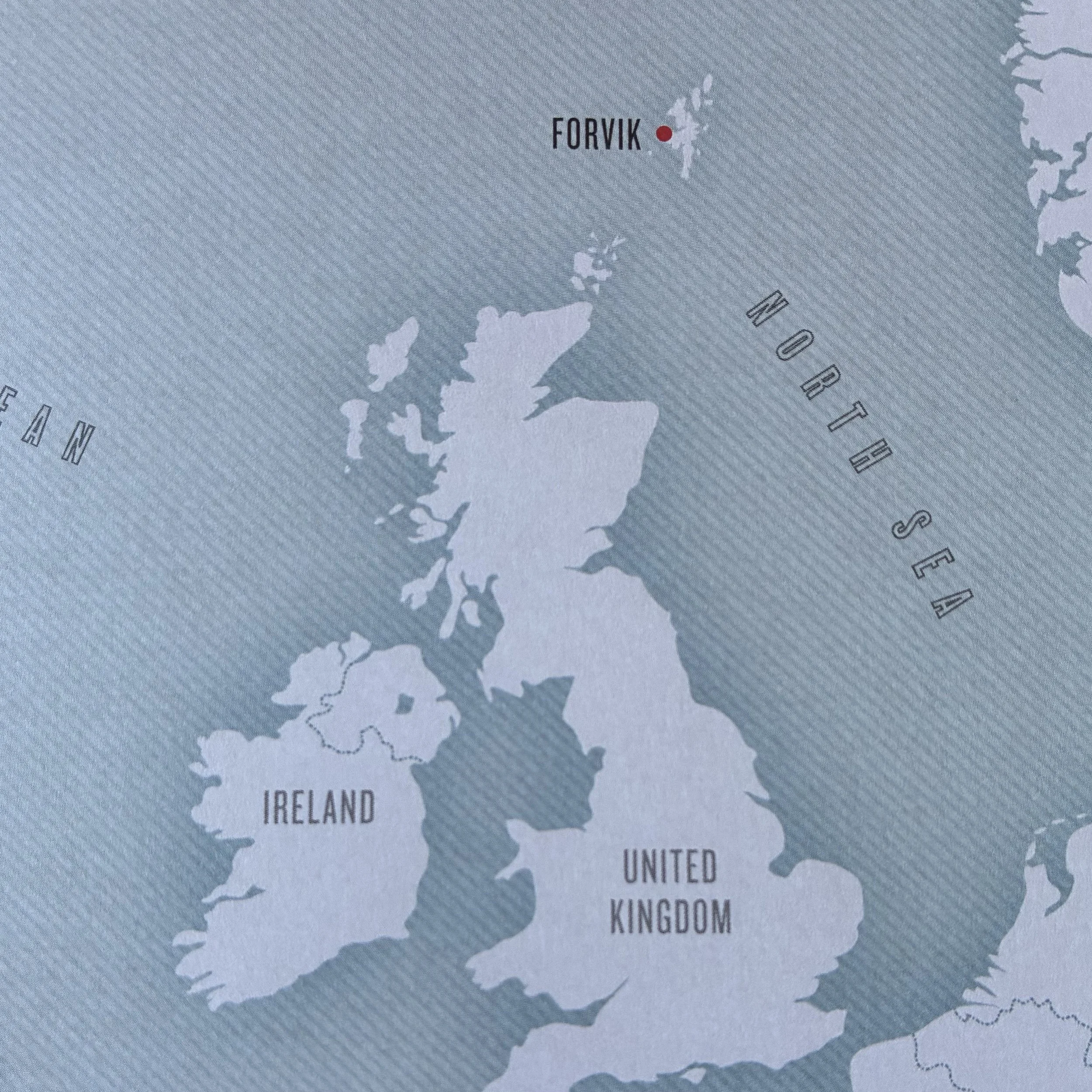
Stuart Hill made multiple attempts to circumnavigate the British Isles in his converted rowing boat. They all came to disaster, resulting in him needing rescue from the coastguard multiple times. During his attempts, he discovered that he really liked Shetland, so in 2008, he took up residence on the Shetland isle of Forvik and “began a campaign for self-determination based on Shetland’s cultural affinity with Scandinavia, a facet of its Viking heritage.” Hill posed the question to the UK government: could they explain the basis for their perceived authority in Shetland? Crickets. Ultimately, his assertion of independence from the wider UK was tested when a Scottish debt agency sued him for unpaid bills. The Scottish sheriff who came to collect was unmoved by Hill’s claims that, as he was standing in an independent country, Scotland had no authority to enforce any of its laws on Forvik. The sheriff took all his property, left him bankrupt, and politely wished him well.
SEBORGA—is situated in the southwestern corner of what is now Italy, quite near the border with Monaco. Population: 312. Land area: 0.2 square miles.
In 1079, it was designated a principality of the Holy Roman Empire. It remained independent for six hundred years until it was sold to the House of Savoy. This transaction was not formally registered anywhere, which becomes an important point, some would say THE important point. At the Congress of Vienna in 1815, when the great powers of Europe met to settle the boundaries on the continent, Seborga was not mentioned. When all the little states on the Italian peninsula were united to form Italy in 1861, Seborga was not mentioned. And in 1946, when the last Italian king was exiled while Italy became a republic, Seborga was not mentioned.
In 1995, a local Seborgan flower-grower proposed to the residents of his town that Seborga was not actually part of Italy. A local referendum confirmed this position, ratifying Seborga’s independence. And the flower-grower was elected “prince for life,” with the title His Tremendousness.
Today, Seborga still pays taxes to Italy and Italy still refuses to recognize the independent Principality of Seborga.
DINETAH—the largest reservation-based Indian nation in the USA, with a degree of self-government. Population: 300K+. Land area: more than 27K square miles.
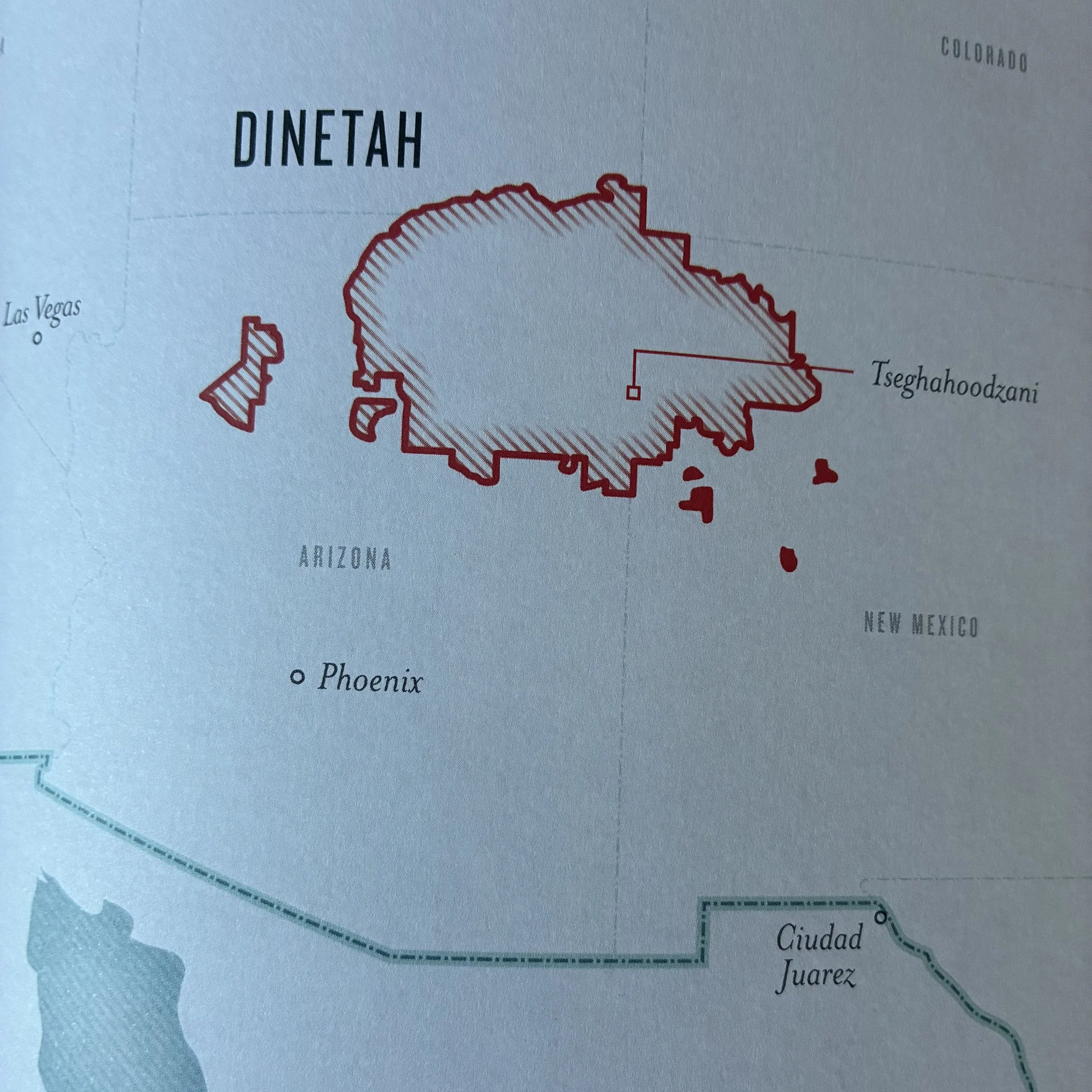
This area is sometimes called the Navajo Nation. Traditionally, this area doesn’t really have fixed boundaries; instead, it has been marked by four sacred mountains at the cardinal compass points. As with many Indian territories in the US, the native peoples were marched off it at gunpoint in the mid-1800s. A treaty followed, confiscating about 90% of the original homeland and the survivors of the removal were allowed to return to what was left. Over the years, additional pieces of land were returned to the Navajo people by presidential order, making the Navajo Nation the largest Indian reservation in the US. In the 1920s, the people were given US citizenship; in the 1960s, the people were permitted to teach their own language in schools; and in 1975, the people were granted self-determination. Are they their own country?
GREENLAND—an autonomous part of Denmark moving toward full independence. Population: 57K.
The Inuit have lived here for 4000 years but never ventured far inland. Why would they? Everything they need to live is along the coast, primarily food. The center of Greenland is just rocks and kilometers-thick ice. The modern colonization of Greenland by Denmark began in the 1720s, but without any central organization, the locals were uninterested in defending their power, so colonization tended to be peaceful. The country never suffered oppression by force. In 1979, Greenland got home rule, and in 2009, Denmark’s queen went in person to give them self-rule, ending 300 years under Danish authority. The only step remaining is full independence, which hasn’t happened yet. Perhaps it’s not necessary to say here, but just in case a reader is unaware…the USA has no authority over Greenland.
TAIWAN—also known as the Republic of China, it’s a Chinese province controlled by a republican government since 1949. Population: about 24 million.
What happened in 1949? Well, the Chinese Nationalists lost the civil war to Mao’s Communist Party and were forced to flee or perish. They took up residence on an island, now called Taiwan, and called themselves the Republic of China. They consider that China is all one country: theirs. They rule from Taiwan. Unfortunately, the Communist Party governs from Beijing, calls the country the People’s Republic of China, and also considers that China is all one country: theirs.
Some have questioned why Taiwan doesn’t relinquish claim to the entire country and just content themselves with their island. I believe the short answer to that is: many believe that the government in Beijing would view it as a declaration of independence and respond with great force. Best not to risk it.
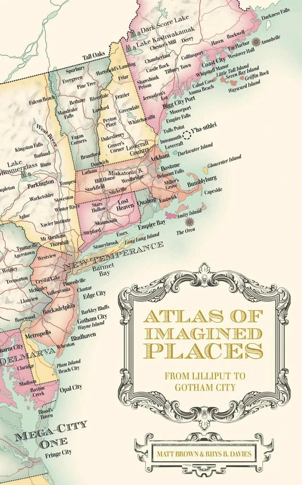
This is a fascinating book and would make a lovely addition to anyone’s coffee table. By the way, if one is interested in atlases of truly fictional places, you might try The Writer's Map: An Atlas of Imaginary Lands or Atlas of Imagined Places: from Lilliput to Gotham City (Atlases of the Imagination).